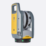
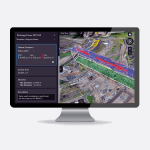
שילוב של מצלמה, בקר וסמארטפון למכשיר קל משקל אחד, ה-all-in-one Site Mobile הוא המכשיר שאתה צריך באתר הבנייה.
מעכשיו כל אחד באתר הבנייה יכול להצטייד במיקום מדויק, לחסוך לך זמן, כסף ועבודות חוזרות.
קל לשימוש
עלות תועלת
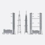
Trimble Site Mobile עם תוכנת בקר האתר SCS900 מושלם עבור:
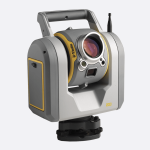
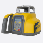
מפרט טכני
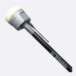
מוצרים נוספים
לפרטים