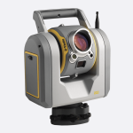
מצלמות עם כמה חיישנים אשר מביאות משמעות חדשה לאיכות המשימה.
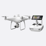
קיימים 2 דגים: H20 ו-H20T, כאשר T מסמל חיישן תרמי נוסף.
יעיל מאוד במשימות של הצלה וכיבוי אש.
זום אופטי עוצמתי של 23x המאפשת מעקב אוטומטי אחר אובייקטים ממרחק גדול!
צירום וידאו ברזולוציית 1080p
זיהוי טמפרטורה של אובייקטים מקחקים גדולים!
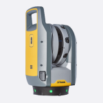
הגימבל מותאם לרחפן הדגל החדש של חברת DJI ה- Matrice 300 RTK.
מצלמות איכותיות עם שלל אפשרויות המביאת פתרונות לתחומים רבים