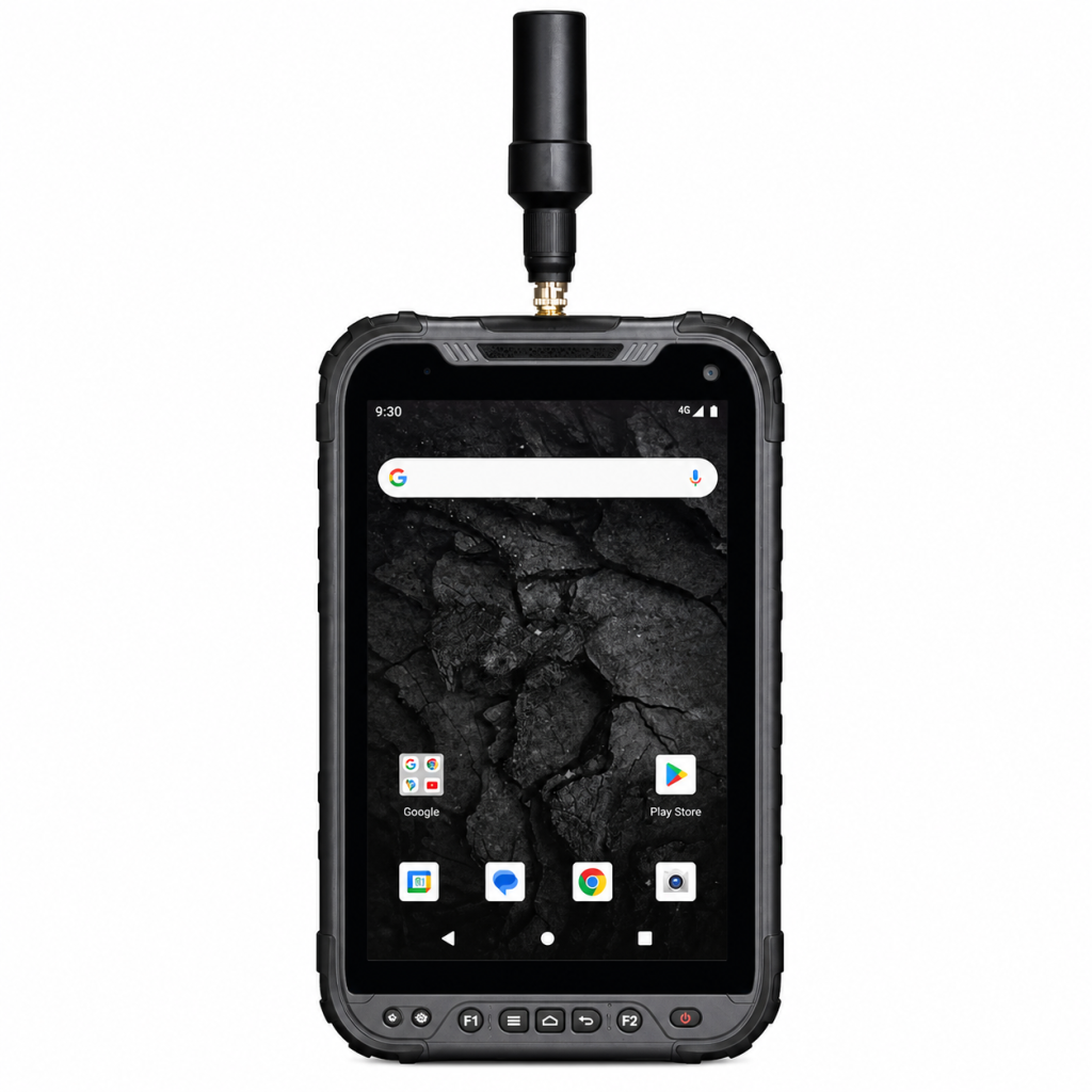
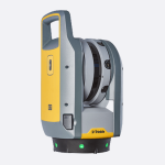
ה-20SP משלב זרימת עבודה חדשנית של איסוף נתונים המותאמת למצלמה עם רמת ביצועים גבוהה בפתרון ארגונומי וניתן להרחבה (מדייק עד ס"מ).
המכשיר קל לשימוש ומדויק ביותר. זהו הכלי האופטימלי לא רק עבור, בנייה, אלא גם עבור מגוון פרויקטים של GIS, כולל איסוף נתונים, בדיקה ותחזוקה.
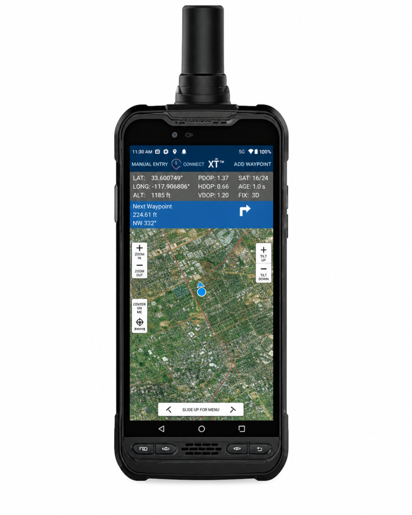
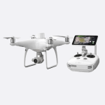
המסך בגודל 5.3 אינץ' מספק תצוגה חיה של זרימת העבודה, המאפשר רישום דו-ממדי מדויק. וניתן לשפר את רמת הדיוק הגבוהה של המערכת עם אביזר מונופול כדי לספק מדידות תלת-ממד מוצקות, בדרגת סקר.
ה-SP20 עובד עם Penmap עבור אנדרואיד . סקר היברידי ואפליקציית GIS לאיסוף נתונים
לא משנה מה סוג העבודה הגיאו-מרחבית שאתה מבצע, השתמש ב SP20 שמספק באופן עקבי תוצאות מדויקות ביותר.